| For a map of our trekking route from Trisuli Bazaar to the Langtang Valley, to the
Gosaikund Lakes, and then back to Kathmandu, look here.
|
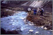
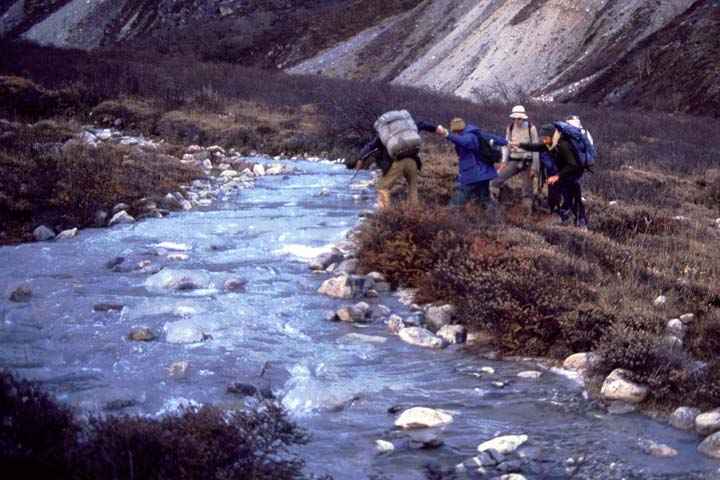
| Stream Crossing.
Most stream and river crossings were trivial, since there was a bridge available. This
particular stream in the Langtang Valley didn't have a bridge. The water was not deep,
although it was quite fast, and very cold (flowing from the West Langtang Glacier). It
was also a bit tricky because the rocks along the shoreline were ice covered.
|
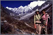
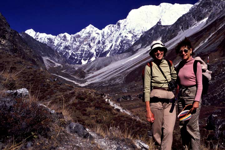
| Posing.
Two of the trek members. This photo is taken from near the top of a very high moraine
(formed by the West Langtang Glacier) that cuts across most of the Langtang Valley.
Looking eastward, Langsisa, is just out of sight towards the left, at the bottom of
the valley.
|
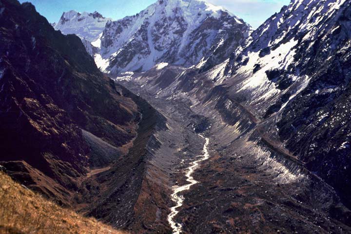
| Langsisa.
We had a rest day at Langsisa. Some people just rested at camp, while others took day
hikes in various directions. I decided to climb the slope on the north side of the
valley, behind our camp. It was quite steep, so the going was rather slow. I only
climbed 1000-1500 ft, and stopped to have lunch. It was a beautiful, warm sunny day -
and the sky was virtually cloudless. I sat here for several hours and just took in the
scenery. The Tibet border is just a short distance up the valley.
|
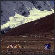
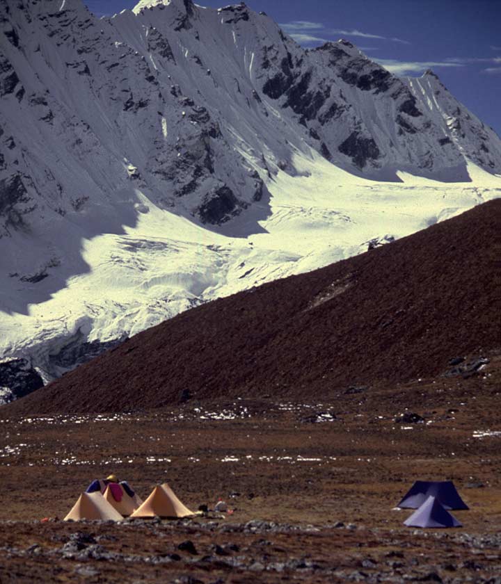
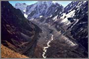
| High Camp.
This is our high camp at Yala, at approximately 17,000 ft, the highest point and
highest camp for the entire trek. For me, it was a very difficult day getting to
this place. We had a 5,000 ft altitude gain from the bottom of the Langtang Valley.
I think that the altitude was finally getting to me, and I was just extremely slow
the entire day. After this, I was fully aclimatized, because I didn't have any
problems for the rest of the trek. That's the West Langtang Glacier behind our camp.
|
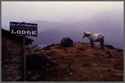
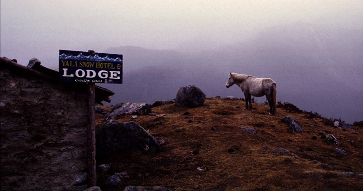
| Yala Horse.
On two occassions we camped near Kyangjin Gompa, in the Langtang Valley. This was a
pleasant spot at the midpoint of the Upper Langtang Valley. Frequently, banks of
clouds would wash up the Langtang Valley and totally obsure everything. This was often
the best time for photography. This was our departure point for climbing the Ganja La.
|
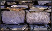
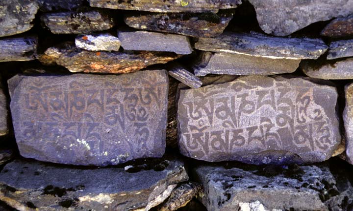
| Mani Wall.
Between Langtang Village and Kyangjin Gompa, there is an extremely long mani wall -
several hundred yards. These walls were covered with both script and images. We
dutifully obeyed the local custom of always passing to the left.
|
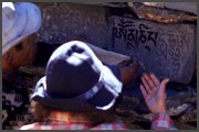
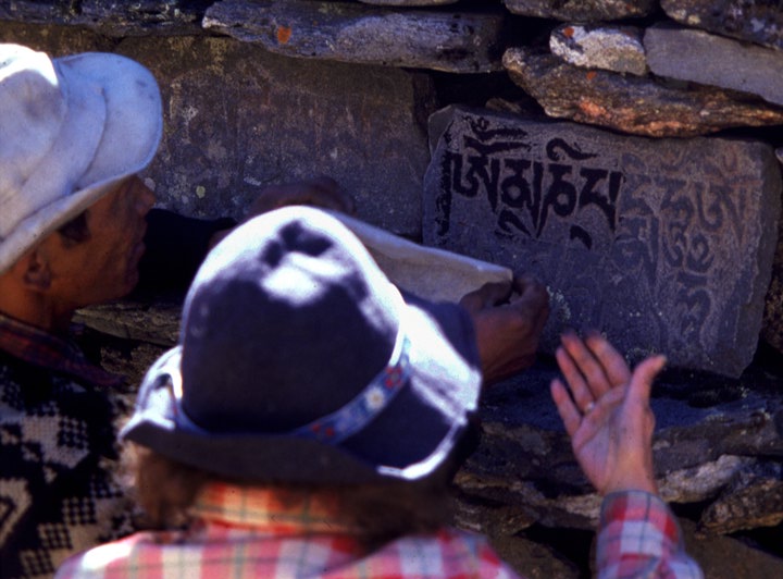
| Rubbing.
One day several of us backtracked from Kyangjin Gompa to the mani wall. We made a
paste by mixing some charcoal from a firepit with water, and spread it on the surface
of the stone. Rice paper was then placed against the stone, leaving a charcoal
impression on the paper.
|
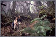
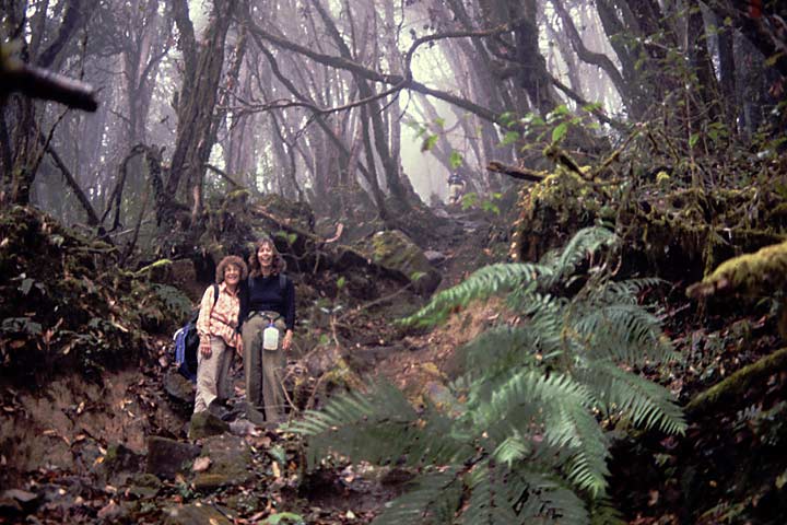
| Enchanted Forest.
After crossing the Ganja La (approximately 16,800 ft), our altitude dropped rapidly,
and after several days, we were in thick forest again. On this foggy morning we were
walking through a rhodendron forest, festooned with hanging strands of Spanish Moss.
It had an eerie feeling. I'm sure we would not have been surprised if a troll or a
hobbit had jumped out from behind a tree.
|
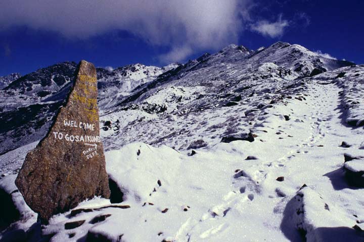
| Approaching Gosaikund.
From the Ganja La, we dropped 10,000 ft. to the Malemchi Khola at 6800 ft. We then
again started climbing towards the Gosaikund Lakes. We had snowy, cool weather for
several days. After climbing to an altitude of approximately 15,000 ft. we reached
the Lauribina Pass. At this point, I stopped and looked back - the sky was gloomy,
it was snowing, and everything was in shades of grey. Then I looked forward - the
sky was blue, the sun was shining, the birds were singing, and everything was in
technicolor. It was like a moment from "Lost Horizon". Alas, it didn't last and
after we dropped down to the Gosaikund Lakes, it snowed the entire night.
|
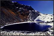
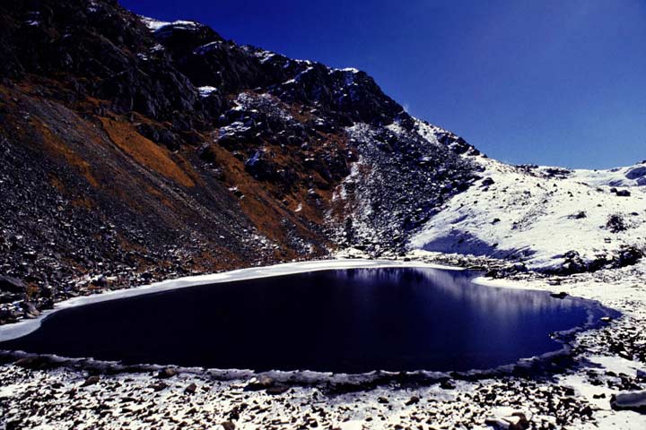
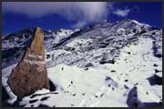
| Gosaikund Lakes.
There are a series of lakes at approximately 14,000 ft. These lakes are considered
holy, and a large religious festival takes place here every year in August, with
thousands of pilgrims attending. It was quite strange to walk along the shore of
the lake, and find coconut shells (brought by the pilgrims). Although we had
approximately 8" of snow, over several days, it disappeared very quickly, and we
were almost snow free by the time we left.
|
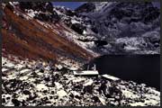
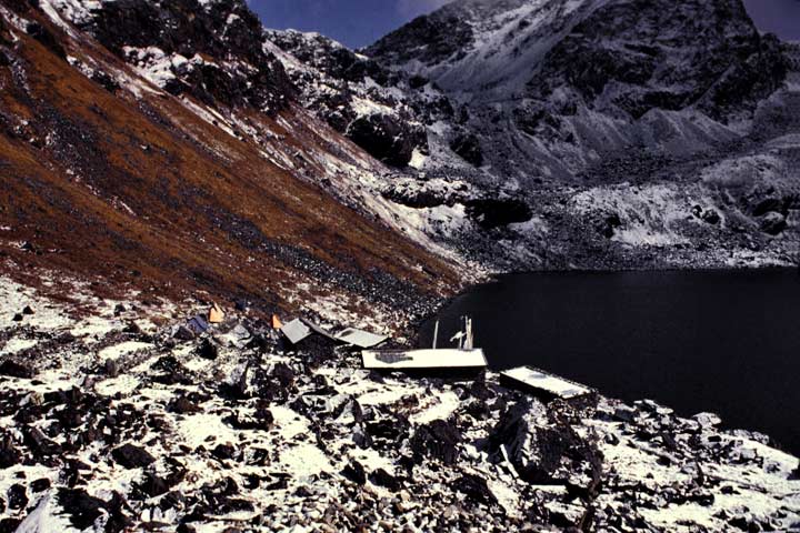
| Gosaikund Camp.
We camped beside several stone hunts, which were used by the Sherpas, and made a
convenient kitchen and dining hut.
|
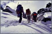
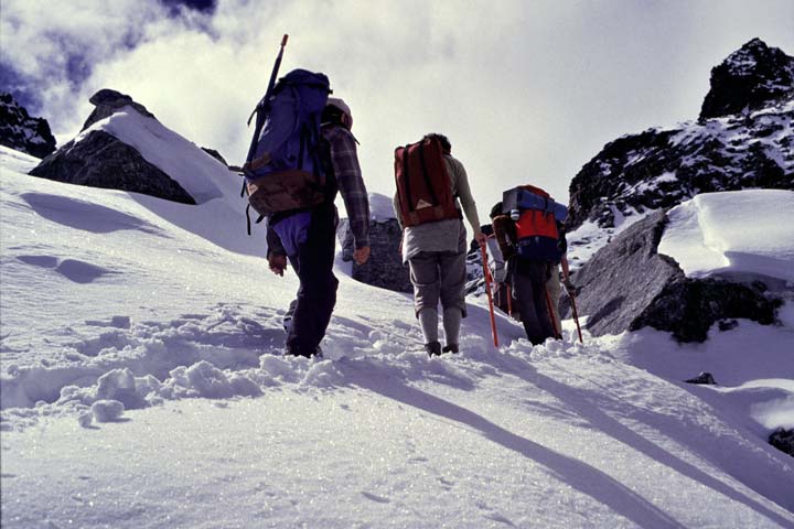
| Crossing the Ganja La.
We spent two full days crossing the Ganja La, a 16,800 ft pass.
|